Fichye:America sattelite.jpg
Dimansyon previzyalizasyon sa a : 472 × 600 piksèl. Lòt rezolisyon yo: 189 × 240 piksèl | 378 × 480 piksèl | 866 × 1 100 piksèl.
Fichye orijinal (866 × 1 100 piksèl, gwosè fichye a : 470 kio, tip MIME li ye : image/jpeg)
Rezime
| Deskripsyon |
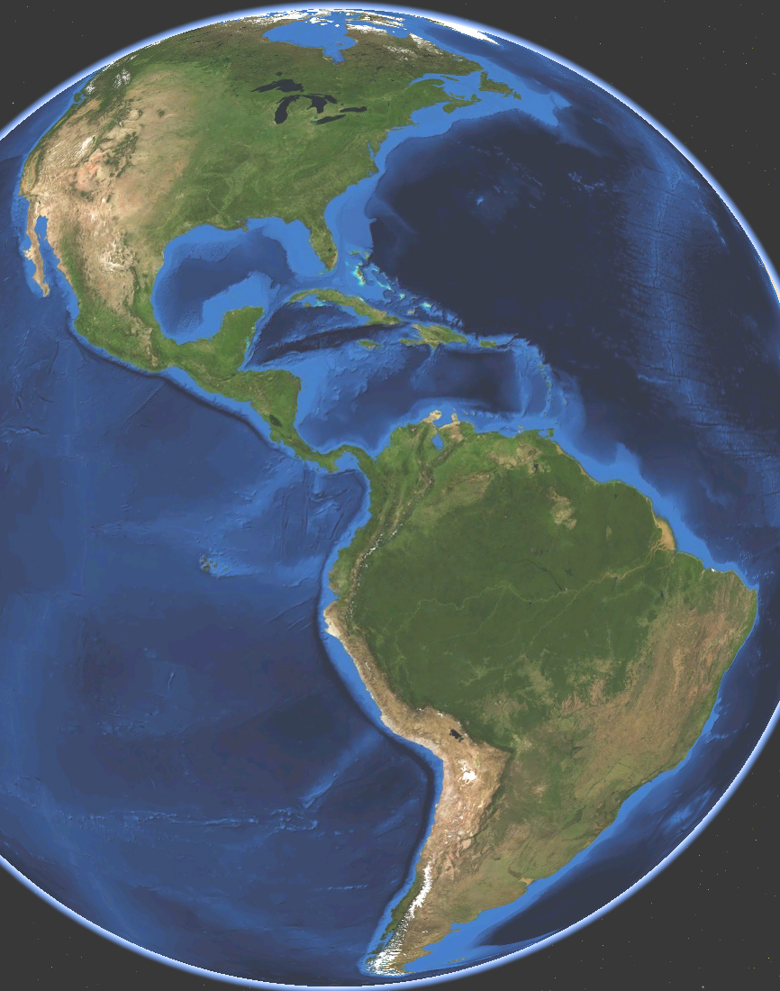
English: Satellite map of America. Land terrain and bathymetry (ocean-floor topography). |
| Dat | |
| Sous | Own work by uploader, made with NASA World Wind. |
| Kreyatè | Koyos |
| Autres versions |
|


Kondisyon itlizasyon
| Moi, propriétaire des droits d’auteur sur cette œuvre, la place dans le domaine public. Ceci s'applique dans le monde entier. Dans certains pays, ceci peut ne pas être possible ; dans ce cas : J’accorde à toute personne le droit d’utiliser cette œuvre dans n’importe quel but, sans aucune condition, sauf celles requises par la loi. |
Istorik fichye a
Klike sou yon dat/yon lè pou wè fichye a jan li te ye nan moman sa a.
| Dat ak lè | Minyati | Grandè yo | Itilizatè | Komantè | |
|---|---|---|---|---|---|
| Kounye a | 15 mas 2009 à 03:21 | | 866 × 1 100 (470 kio) | Koyos | {{Information |Description={{en|1=Satellite map of America. Terrain and ocean topography.}} |Source=Own work by uploader, made with NASA World Wind. |Author=Koyos |Date=2009-03-15 |Permission= |other_versions= }} <!--{{ImageUpload|full}}-- |
Itilizasyon fichye sa a
paj sa a itilize fichye sa a:
Itilizasyon global fichye a
Wiki sa a yo sèvi ak fichye sa a:
- Itilizasyon sou ar.wikipedia.org
- Itilizasyon sou arz.wikipedia.org
- Itilizasyon sou ast.wikipedia.org
- Itilizasyon sou az.wikipedia.org
- Itilizasyon sou ba.wikipedia.org
- Itilizasyon sou ca.wikipedia.org
- Itilizasyon sou diq.wikipedia.org
- Itilizasyon sou en.wikipedia.org
- Itilizasyon sou et.wikipedia.org
- Itilizasyon sou fi.wikipedia.org
- Itilizasyon sou fr.wikipedia.org
- Itilizasyon sou ga.wikipedia.org
- Itilizasyon sou glk.wikipedia.org
- Itilizasyon sou ha.wikipedia.org
- Itilizasyon sou hy.wikipedia.org
- Itilizasyon sou ia.wikipedia.org
- Itilizasyon sou id.wikipedia.org
- Itilizasyon sou ig.wikipedia.org
- Itilizasyon sou incubator.wikimedia.org
- Itilizasyon sou it.wikipedia.org
- Bartolomé de Las Casas
- Cristoforo Colombo
- Alvise Da Mosto
- Antonio de Noli
- Antoniotto Usodimare
- Vasco Núñez de Balboa
- Sebastiano Caboto
- Naufragi
- Alonso de Ojeda
- Juan Díaz de Solís
- Vicente Yáñez Pinzón
- Leggi di Burgos
- Leggi nuove
- Giovanni Battista Ramusio
- La conquista dell'America. Il problema dell'altro
- Giovanni Caboto
- Pedro Alonso Niño
- Età delle scoperte
- Viaggi di Cristoforo Colombo
- La conquista del Messico 1517-1521
- Leggi delle Indie
- Delle navigationi et viaggi
- Pedro de Sintra
Gade plis itilizasyon global fichye sa a.