Fichye:Northern Ireland counties + districts.png

Dimansyon previzyalizasyon sa a : 746 × 599 piksèl. Lòt rezolisyon yo: 299 × 240 piksèl | 598 × 480 piksèl | 956 × 768 piksèl | 1 275 × 1 024 piksèl | 1 672 × 1 343 piksèl.
Fichye orijinal (1 672 × 1 343 piksèl, gwosè fichye a : 441 kio, tip MIME li ye : image/png)
Rezime
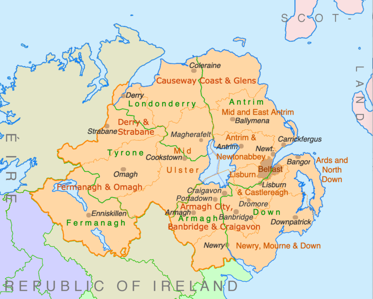
| Deskripsyon | Counties and disticts of Northern Ireland |
| Dat | |
| Sous | File:Counties of Ireland.svg & File:United Kingdom Northern Ireland adm location map.svg |
| Kreyatè | Ulamm (diskisyon) |
Kondisyon itlizasyon
Moi, en tant que détenteur des droits d’auteur sur cette œuvre, je la publie sous les licences suivantes :

|
Ou bay pèmisyon pou kopye, distribye ak/oswa modifye dokiman sa a dapre kondisyon GNU Free Documentation License, Vèsyon. 1.2 oswa nenpòt vèsyon ki pibliye pita pa Free Software Foundation; san okenn Seksyon ki pa ka chanje, pa gen okenn Tèks ak premye paj kouvèti, epi pa gen okenn Tèks Denyè-Kouvèti. Gen yon kopi lisans lan nan seksyon ki rele GNU Free Documentation License. |
This file is licensed under the Creative Commons Attribution-Share Alike 4.0 International, 3.0 Unported, 2.5 Generic, 2.0 Generic and 1.0 Generic license.
- Ou gen dwa:
- pou pataje – pou kopye, distribiye epi difize ouvraj la
- pou remiks – pou adapte ouvraj la
- Selon kondisyon sa a yo:
- Rekonèt avèk non otè – Ou dwe bay enfòmasyon apwopriye sou otè a, bay yon lyen pou lisans lan, epi endike si te gen chanjman ki fèt. Ou ka fè sa nan nenpòt fason rezonab, men okenn fason ki sijere ke otè a soutni oswa apwouve itilizasyon ou an.
- Enfòmasyon sa yo ka pataje – Si ou fè rekopye, transfòme, oswa baze sou materyèl sa, ou dwe distribye kontribisyon ou anba menm oswa yon lisans konpatib avèk orijinal la.
Chwazi lisans ou vle a.
Istorik fichye a
Klike sou yon dat/yon lè pou wè fichye a jan li te ye nan moman sa a.
| Dat ak lè | Minyati | Grandè yo | Itilizatè | Komantè | |
|---|---|---|---|---|---|
| Kounye a | 9 jiyè 2022 à 22:28 | | 1 672 × 1 343 (441 kio) | Ulamm | some more names |
| 8 jiyè 2022 à 22:31 |  | 1 672 × 1 343 (426 kio) | Ulamm | + some places | |
| 6 jiyè 2022 à 12:38 |  | 1 672 × 1 343 (383 kio) | Ulamm | + Mid Ulster | |
| 6 jiyè 2022 à 12:03 |  | 1 672 × 1 343 (381 kio) | Ulamm | {{Information |Description=Counties and disticts of Northern Ireland |Source=File:Counties of Ireland.svg & File:United Kingdom Northern Ireland adm location map.svg |Date=2022-07-06 |Author=Ulamm (<span class="signature-talk">{{int:Talkpagelinktext}}</span>) |Permission= |other_versions= }} Category:Maps of Northern Ireland Category:Maps by Ulamm == {{int:license-header}} == {{self|GFDL|cc-by-sa-all|migration=redundant}} |
Itilizasyon fichye sa a
Pa gen okenn paj ki itilize dosye sa a.
Itilizasyon global fichye a
Wiki sa a yo sèvi ak fichye sa a:
- Itilizasyon sou de.wikipedia.org
- Itilizasyon sou ie.wikipedia.org
- Itilizasyon sou mt.wikipedia.org