Fichye:SD Capitol.jpg
Dimansyon previzyalizasyon sa a : 800 × 455 piksèl. Lòt rezolisyon yo: 320 × 182 piksèl | 640 × 364 piksèl | 1 024 × 583 piksèl | 1 280 × 729 piksèl | 2 921 × 1 663 piksèl.
Fichye orijinal (2 921 × 1 663 piksèl, gwosè fichye a : 6,69 Mio, tip MIME li ye : image/jpeg)
Rezime
| Deskripsyon |
Cette infographie a été créée avec Hugin. |
||
| Dat | |||
| Sous | Travay pèsonèl | ||
| Kreyatè | Jake DeGroot | ||
| Pèmisyon : (Resèvi ak fichye sa a) |
Jake DeGroot, en tant que détenteur des droits d’auteur sur cette œuvre, la publie sous la licence suivante : Fichye sa a distribiye selon lisans Creative Commons. Rekonèt avèk non otè: Jake DeGroot
|

| Lieu de la prise de vue | | Voir cet endroit et d’autres images sur : OpenStreetMap |
|---|

|
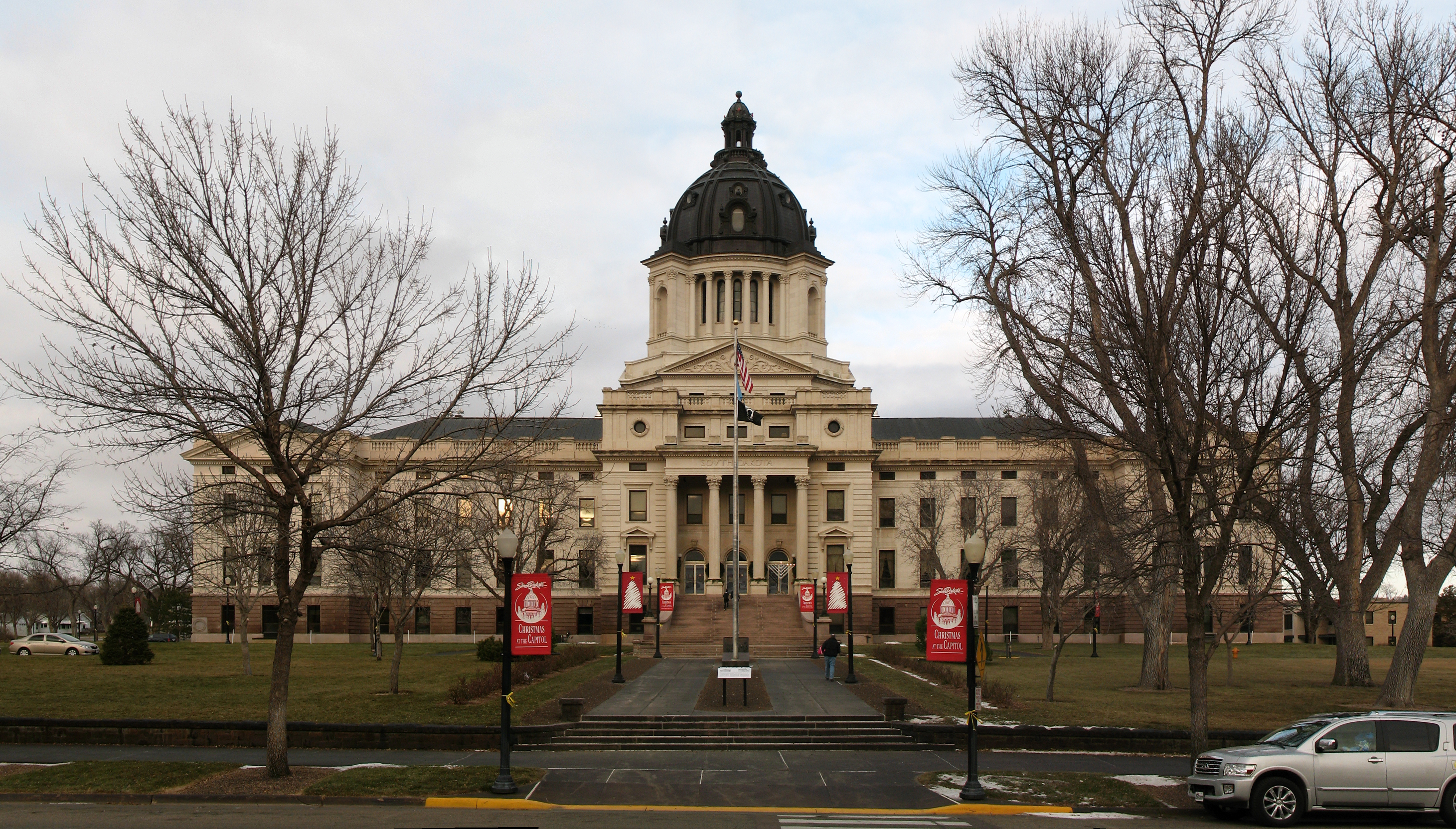
NOTE : Cette image est un panorama de South Dakota State Capitol constitué de 3 clichés fusionnés en utilisant Hugin.
En conséquence, cette image a forcément subi une certaine forme de retouche numérique. Il peut s’agir de fondu, floutage, duplication et ajustements de couleurs et de perspective. Cette image peut donc être légèrement distincte de la réalité aux endroits de raccord. Cette retouche est souvent nécessaire en raison de déformation de parallaxe ou de perspective.
|
Istorik fichye a
Klike sou yon dat/yon lè pou wè fichye a jan li te ye nan moman sa a.
| Dat ak lè | Minyati | Grandè yo | Itilizatè | Komantè | |
|---|---|---|---|---|---|
| Kounye a | 3 avril 2011 à 22:06 | | 2 921 × 1 663 (6,69 Mio) | Sdgjake | {{Information |Description ={{en|1=The South Dakota State Capitol building in Pierre, South Dakota.}} |Source ={{own}} |Author =Jake DeGroot |Date =2010-12-04 |Permission ={{User:sdgjake/credit}} {{self|cc |
Itilizasyon fichye sa a
Pa gen okenn paj ki itilize dosye sa a.
Itilizasyon global fichye a
Wiki sa a yo sèvi ak fichye sa a:
- Itilizasyon sou af.wikipedia.org
- Itilizasyon sou am.wikipedia.org
- Itilizasyon sou azb.wikipedia.org
- Itilizasyon sou bn.wikipedia.org
- Itilizasyon sou de.wikipedia.org
- Itilizasyon sou el.wikipedia.org
- Itilizasyon sou en.wikipedia.org
- Itilizasyon sou en.wikivoyage.org
- Itilizasyon sou es.wikipedia.org
- Itilizasyon sou et.wikipedia.org
- Itilizasyon sou fi.wikipedia.org
- Itilizasyon sou fo.wikipedia.org
- Itilizasyon sou fy.wikipedia.org
- Itilizasyon sou gd.wikipedia.org
- Itilizasyon sou he.wikipedia.org
- Itilizasyon sou it.wikipedia.org
- Itilizasyon sou it.wikivoyage.org
- Itilizasyon sou la.wikipedia.org
- Itilizasyon sou mi.wikipedia.org
- Itilizasyon sou nl.wikipedia.org
- Itilizasyon sou nov.wikipedia.org
- Itilizasyon sou no.wikipedia.org
- Itilizasyon sou pnb.wikipedia.org
- Itilizasyon sou pt.wikipedia.org
- Itilizasyon sou ro.wikipedia.org
- Itilizasyon sou ru.wikipedia.org
- Itilizasyon sou sw.wikipedia.org
- Itilizasyon sou th.wikipedia.org
- Itilizasyon sou tum.wikipedia.org
- Itilizasyon sou uk.wikipedia.org
- Itilizasyon sou uz.wikipedia.org
- Itilizasyon sou vi.wikipedia.org
- Itilizasyon sou www.wikidata.org