Fichye:Miamisburg aerial from the east.jpg
Dimansyon previzyalizasyon sa a : 800 × 600 piksèl. Lòt rezolisyon yo: 320 × 240 piksèl | 640 × 480 piksèl | 1 024 × 768 piksèl | 1 280 × 960 piksèl | 2 272 × 1 704 piksèl.
Fichye orijinal (2 272 × 1 704 piksèl, gwosè fichye a : 1,69 Mio, tip MIME li ye : image/jpeg)
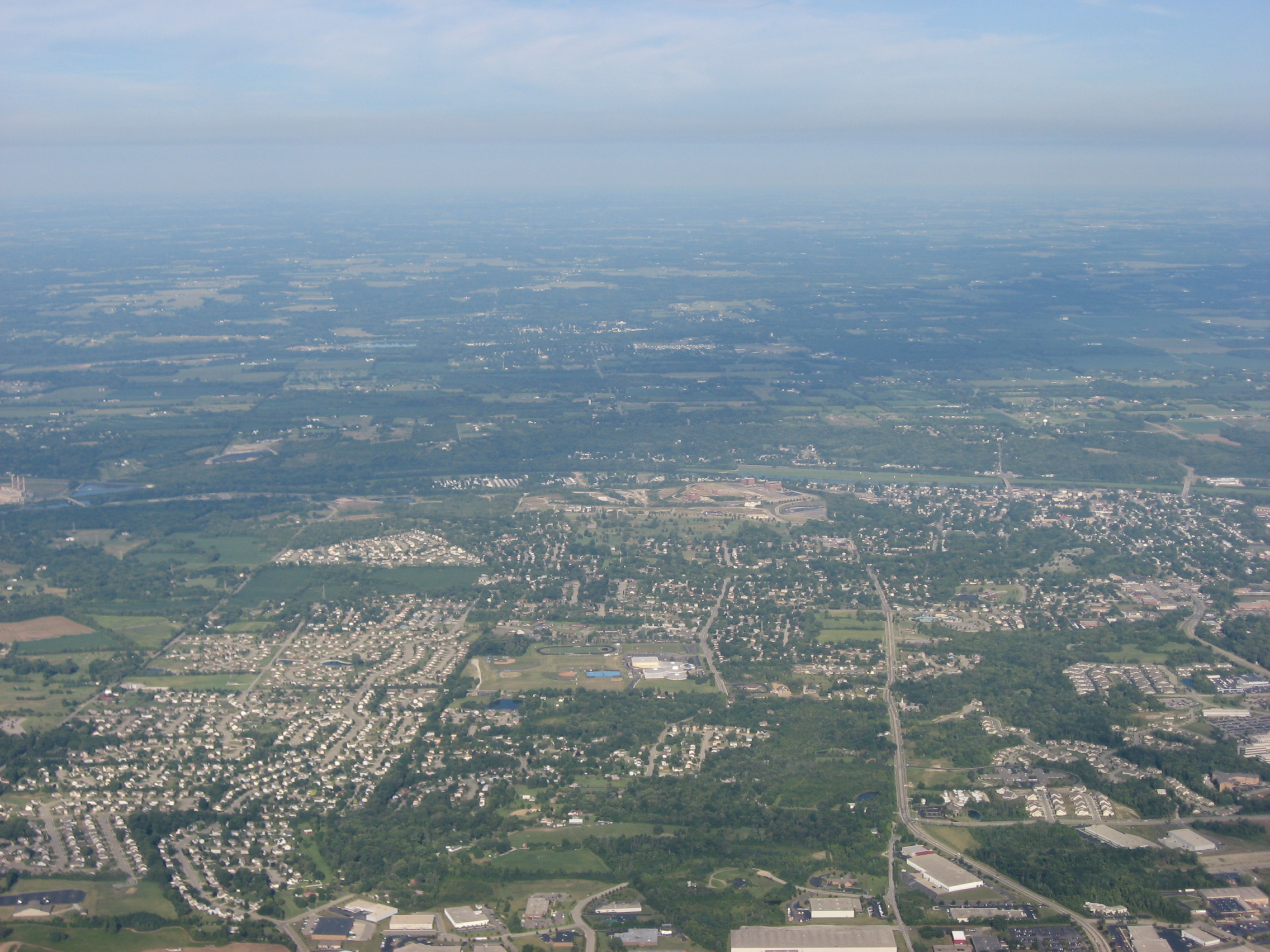
| Deskripsyon | Aerial view of Miamisburg, a city in southern Montgomery County, Ohio, United States, looking toward downtown. The Great Miami River is visible on the far side of downtown. Picture taken from a Diamond Eclipse light airplane at an altitude of 4,580 feet MSL and a bearing of approximately 273º. | ||
| Dat | Prise le 12 out 2008 | ||
| Sous | Travay pèsonèl | ||
| Kreyatè | Nyttend | ||
| Pèmisyon : (Resèvi ak fichye sa a) |
|
Istorik fichye a
Klike sou yon dat/yon lè pou wè fichye a jan li te ye nan moman sa a.
| Dat ak lè | Minyati | Grandè yo | Itilizatè | Komantè | |
|---|---|---|---|---|---|
| Kounye a | 22 septanm 2008 à 14:07 | | 2 272 × 1 704 (1,69 Mio) | Nyttend | {{Information |Description=Aerial view of {{w|Miamisburg, Ohio|Miamisburg}}, a city in southern {{w|Montgomery County, Ohio|Montgomery County}}, {{w|Ohio}}, {{w|United States}}, looking toward downtown. The {{w|Great Miami River}} is visible on the far s |
Itilizasyon fichye sa a
paj sa a itilize fichye sa a:
Itilizasyon global fichye a
Wiki sa a yo sèvi ak fichye sa a:
- Itilizasyon sou ar.wikipedia.org
- Itilizasyon sou arz.wikipedia.org
- Itilizasyon sou azb.wikipedia.org
- Itilizasyon sou ca.wikipedia.org
- Itilizasyon sou ceb.wikipedia.org
- Itilizasyon sou ce.wikipedia.org
- Itilizasyon sou cy.wikipedia.org
- Itilizasyon sou en.wikivoyage.org
- Itilizasyon sou es.wikipedia.org
- Itilizasyon sou eu.wikipedia.org
- Itilizasyon sou fa.wikipedia.org
- Itilizasyon sou fr.wikipedia.org
- Itilizasyon sou it.wikipedia.org
- Itilizasyon sou it.wikivoyage.org
- Itilizasyon sou ky.wikipedia.org
- Itilizasyon sou lld.wikipedia.org
- Itilizasyon sou no.wikipedia.org
- Itilizasyon sou pl.wikipedia.org
- Itilizasyon sou pt.wikipedia.org
- Itilizasyon sou sh.wikipedia.org
- Itilizasyon sou sr.wikipedia.org
- Itilizasyon sou tr.wikipedia.org
- Itilizasyon sou tt.wikipedia.org
- Itilizasyon sou uk.wikipedia.org
- Itilizasyon sou uz.wikipedia.org
- Itilizasyon sou vi.wikipedia.org
- Itilizasyon sou vo.wikipedia.org
- Itilizasyon sou www.wikidata.org
- Itilizasyon sou zh-min-nan.wikipedia.org