Fichye:North Main in downtown Henderson.jpg
Dimansyon previzyalizasyon sa a : 800 × 450 piksèl. Lòt rezolisyon yo: 320 × 180 piksèl | 640 × 360 piksèl | 1 024 × 576 piksèl | 1 280 × 720 piksèl | 2 816 × 1 584 piksèl.
Fichye orijinal (2 816 × 1 584 piksèl, gwosè fichye a : 1,97 Mio, tip MIME li ye : image/jpeg)
|
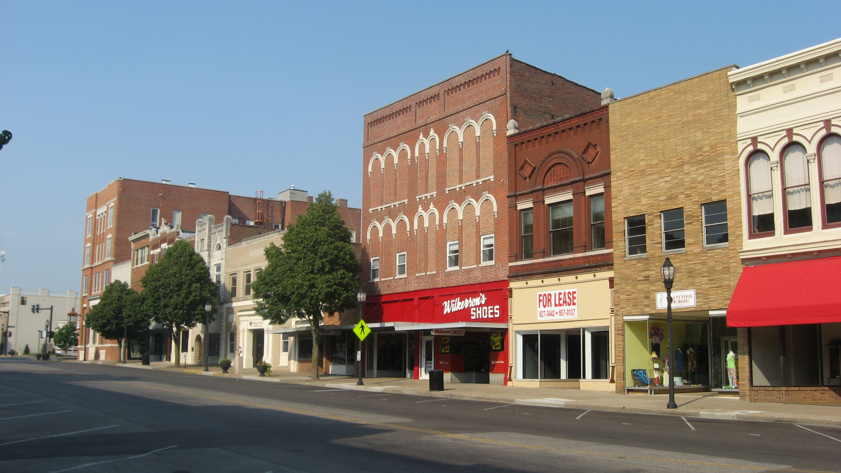
Ceci est une photographie d’un monument référencé dans le National Register of Historic Places des États-Unis sous le numéro 89001975. |
| Lieu de la prise de vue | | Voir cet endroit et d’autres images sur : OpenStreetMap |
|---|
| Deskripsyon |
English: Buildings on the eastern side of the 100 block of N. Main Street in Henderson, Kentucky, United States. This block is part of the Henderson Commercial District, a historic district that is listed on the National Register of Historic Places. |
||
| Dat | Prise le 30 jen 2012 | ||
| Sous | Travay pèsonèl | ||
| Kreyatè | Nyttend | ||
| Pèmisyon : (Resèvi ak fichye sa a) |
|
Istorik fichye a
Klike sou yon dat/yon lè pou wè fichye a jan li te ye nan moman sa a.
| Dat ak lè | Minyati | Grandè yo | Itilizatè | Komantè | |
|---|---|---|---|---|---|
| Kounye a | 8 out 2012 à 04:35 | | 2 816 × 1 584 (1,97 Mio) | Nyttend | {{NRHP|89001975}} {{Location|37|50|43|N|87|35|31|W}} {{Information |Description={{en|Buildings on the eastern side of the 100 block of N. Main Street in {{w|Henderson, Kentucky|Henderson}}, {{w|Kentucky}}, {{w|United States}}. This block is part of th... |
Itilizasyon fichye sa a
paj sa a itilize fichye sa a:
Itilizasyon global fichye a
Wiki sa a yo sèvi ak fichye sa a:
- Itilizasyon sou ar.wikipedia.org
- Itilizasyon sou arz.wikipedia.org
- Itilizasyon sou azb.wikipedia.org
- Itilizasyon sou ca.wikipedia.org
- Itilizasyon sou ceb.wikipedia.org
- Itilizasyon sou ce.wikipedia.org
- Itilizasyon sou dag.wikipedia.org
- Itilizasyon sou de.wikipedia.org
- Itilizasyon sou en.wikipedia.org
- Itilizasyon sou en.wikivoyage.org
- Itilizasyon sou es.wikipedia.org
- Itilizasyon sou eu.wikipedia.org
- Itilizasyon sou fr.wikipedia.org
- Itilizasyon sou hu.wikipedia.org
- Itilizasyon sou it.wikipedia.org
- Itilizasyon sou ky.wikipedia.org
- Itilizasyon sou lld.wikipedia.org
- Itilizasyon sou nl.wikipedia.org
- Itilizasyon sou no.wikipedia.org
- Itilizasyon sou pl.wikipedia.org
- Itilizasyon sou pt.wikipedia.org
- Itilizasyon sou ru.wikipedia.org
- Itilizasyon sou sr.wikipedia.org
- Itilizasyon sou sv.wikipedia.org
- Itilizasyon sou tr.wikipedia.org
- Itilizasyon sou tt.wikipedia.org
- Itilizasyon sou uk.wikipedia.org
- Itilizasyon sou ur.wikipedia.org
- Itilizasyon sou uz.wikipedia.org
- Itilizasyon sou vo.wikipedia.org
- Itilizasyon sou www.wikidata.org
- Itilizasyon sou zh-min-nan.wikipedia.org